TUESDAY, AUGUST 20 –
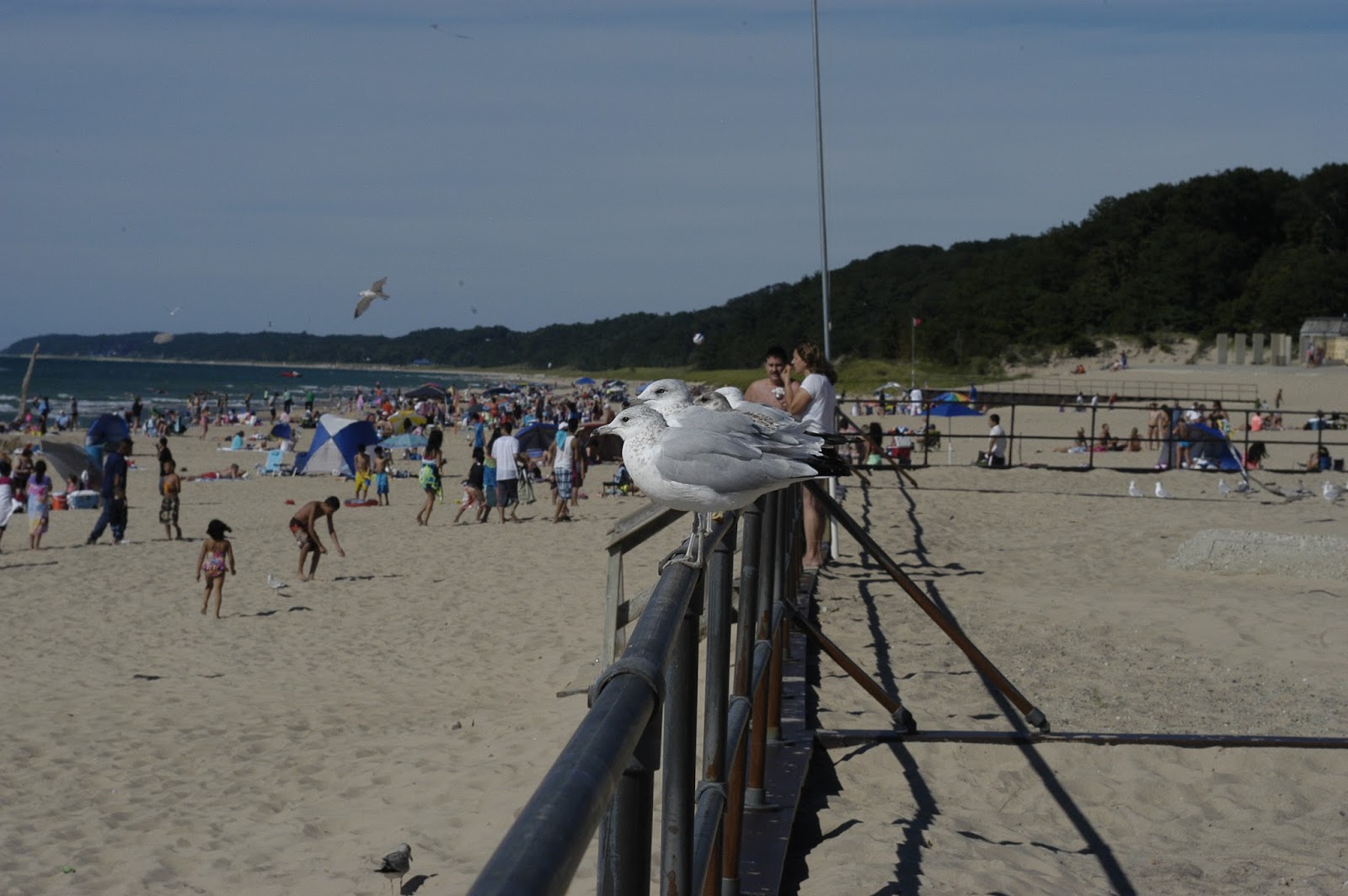
Helena woke me up at 5:30 a.m. on Monday 19th so we could catch the sunrise on Lake Michigan [at Kleinke Park]. After uploading the pictures to my laptop we had coffee and breakfast and then left at 8:15 a.m. It’s a good thing we left at that time because I completely forgot that we were going to lose an hour somewhere in Michigan along the way to St. Ignace.
From Rt. 35 N we got on Rt. 2 E and about three hours later we had ourselves a site, with a nice view of Lake Michigan, at the Lakeshore RV Park, in St. Ignace. After setting up the camper, I immediately connected to the Wi-Fi and posted Blog #9. That done, Helena and I walked down to the rocky beach to check out Lake Michigan and the view of Mackinac Bridge. Completed in 1957, the famous and impressive Mackinac Bridge is an 8,614-foot suspension bridge that spans the Straits of Mackinac to connect Michigan’s Upper and Lower Peninsulas. Driving north on the bridge, Lake Michigan is to the left and Lake Huron the right. The weather was absolutely lovely today – sunny with a pleasantly cool breeze. We sat outside and made the most of it!
At 9:00 a.m. this morning (Tuesday) we took a free shuttle, courtesy of the RV Park, to a ferry dock to catch the 9:30 a.m. Shepler’s Ferry to Mackinac Island. Here’s what we did today –
 |
Limited to only three morning “Mighty Mac” departure times from St. Ignace, our ferry went right under the Mackinac Bridge on the way to Mackinac Island. The close up view of the bridge from that vantage point was quite awesome to see. Photo by Helena.
|
 The first thing we
decided to do when we got on the island was to rent bikes! It’s been years since I rode a bicycle and I
felt like a clumsy oaf when we took off.
Fortunately, my “pedal power” memory kicked in…as did my sense of balance! Photo by Helena.
The first thing we
decided to do when we got on the island was to rent bikes! It’s been years since I rode a bicycle and I
felt like a clumsy oaf when we took off.
Fortunately, my “pedal power” memory kicked in…as did my sense of balance! Photo by Helena. 


WEDNESDAY, AUGUST 21 –
I had asked Helena the night before to be sure I’m up by 7:00 a.m. this morning so we could be on our way by 9:00 a.m. When the smell of coffee didn’t make me stir, Helena, noticing that I had one leg outside my blanket, resorted to waking me up with a very slight tickle to my foot. That got me up pretty quick!
Over our breakfast of cereal, Helena gestured towards the dinette window and asked me if I noticed anything. I looked outside and said – “Nice morning? The sun?” She kept gesturing around the window. Then I saw it! Or rather, I didn’t see it! No dowel! The little stick was gone! The pleated shades were up! While I had been taking forever to wake up that morning, she studied the strings for the pleated shades, figured out how they were supposed to work, and fixed them. When I attempted to lower/raise the shades later, they were tight – exactly how they are supposed to be – and it took me a while to get used to the new feel. THANK YOU, HELENA!
We took I-75 N to the Rt. 123 scenic loop. The drive took us to the northern shoreline of Michigan’s Upper Peninsula where, in the town of Paradise, we could see Lake Superior. The route then turned southward and we were driving through a forest of trees dotted with ponds and marshes. We stopped for about an hour at the Tahquamenon Falls State Park to stretch our legs and check out the Lower Falls.
 |
| Lower Tahquamenon Falls, Tahquamenon Falls State Park, along Rt. 123. |
We soon got on Rt. 28 W towards Munising and got a site at the City of Munising Tourist Park. As it had been a little bit humid that day, I decided to take a dip in the refreshingly cool water of Lake Superior. Back at the camper and sitting at the dinette table with Helena, we noticed dark clouds forming. And then it poured! We quickly closed all the windows and watched the downpour. Eventually the rain let up and the sky cleared just enough to grant us all a very nice sunset.
 |
| Sunset following a rainstorm, City of Munising Tourist Park, Munising, MI. |
THURSDAY, AUGUST 22 –
The day started off cloudy, with the threat of a few more sprinkles, but it became clear and sunny as we drove on Rt. 28 W looking to get on Rt. 41 N. Making the connection, we were now on the Keweenaw Peninsula, the westernmost peninsula on Michigan’s Upper Peninsula.
We stopped first at the McLain State Park, off of Rt. 203 near Calumet, to get a site for tonight. That done, we then left to drive north on a woodsy and winding narrow two-lane Rt. 41 to Copper Harbor, at the tip of the peninsula. Located here is the Fort Wilkins Historical State Park.
Copper was discovered in this area in the 1830s, resulting in a copper rush and the establishment of mining operations in the region. The U.S. government established Fort Wilkins to help maintain order and to provide aid for shipping on Lake Superior. The fort was eventually abandoned and the buildings on the site were used for other purposes before they fell into disrepair. The structures on the grounds today were carefully reconstructed based on photographs and archaeological excavations.
After walking around, and checking out the nearby Copper Harbor Lighthouse, we got supper in town and then took an equally scenic Rt. 26 back to our campsite. The sunset down Lake Superior was one big ball of orange!
 |
Reconstructed buildings - Barracks (foreground); Kitchen and Mess Room (background). Behind the flagpole is Lake Fanny Hooe.
|
 |
| Reconstructed buildings - Barracks (left); Kitchen and Mess Room (right). Photo by Helena. |
 |
| Reconstructed buildings - Barracks (left); the two structures on the right are the Officers' Quarters. |
 |
| The Copper Harbor Lighthouse, near Fort Wilkins. |
FRIDAY, AUGUST 23 –
We left the McLain State Park around 8:15 a.m. and took Rt. 203 to Hancock where I got gas. Spotting a McDonald’s, we stopped there for coffee and to use their hotspot.
It was another lovely morning, which made for an equally lovely drive. Most attentive to her duties as navigator, Helena kept me on track along Routes 26 S, 45 S, 28 W, and 2 W – into Wisconsin! Ahead by an hour now, we made good progress, via Rt. 13 N, to the town of Bayfield, on the Bayfield Peninsula. Bayfield, a small community with a marina, shops, restaurants, and bars, is known mostly for being “…home to the Apostle Islands National Lakeshore, a beautiful archipelago of enchanting islands.”
At the Visitors Center we picked up information on cruise tours around the Apostle Islands and while we were there we also discovered that only one RV Park, not our first choice, was the only one with available spaces. The lady in the office cautioned that it was really busy in the area. Helena and I also noted that today was Friday. I asked the lady if she could do me a favor and call that RV Park and ask them if they could hold a site for us. She gladly made the call and they were just as happy to comply.
Back in the truck we drove to the dock and found the cruise ticket office. Best we go and pay for our site first at the Apostle Islands Area Campground, just off CR-J, and then come back to town. The owner at the campground was real friendly and accommodating. He had a photograph of a black bear that was taken, he said, at the site right next to the one he assigned me. The point of the photograph, on which the bear is saying: “Where’s the food?” is to remind people to keep their food secured in their RVs or vehicles.
Initially planning to go on a cruise tour of the Apostle Islands tomorrow morning, Helena suggested that since the weather was so perfect today, and rain was in the forecast for tomorrow, let’s take the 4:30 p.m. tour today. I agreed and we got our tickets. With time to spare, we had lunch and then walked around the town for a bit. Around 3:30 p.m. Helena went to the dock to sit in a shaded pavilion while I went back to the truck to retrieve my camera and camcorder. While I was doing that, I noticed parking tickets on a couple of cars and then I noticed the two-hour parking limit sign, which was posted at the far corner from where I parked. Luckily I didn’t get a ticket and had just enough time to park elsewhere.
To quote from a reference booklet –
“Stunning natural scenery, windswept beaches, 8 historic lighthouses, nature carved rock formations, marine wildlife, and intricate sea caves – this is Apostle Islands National Lakeshore. Twenty-two beautifully crafted islands in Lake Superior positioned off the coast of the Bayfield Peninsula in northern Wisconsin.”
It was a beautiful evening indeed for a 3½ hour narrated cruise. We had a descriptive guide with a map and did our best to guess which island was which. A very nice young lady seated behind us pointed out islands to us and scribbled notes about some facts. Helena and I liked Devils Island the best – the sea caves along that island’s shoreline were gorgeous, especially with the glow of the setting sun on them.
Back on shore it was time to get some ice cream! By then it was dark and when we got to the RV Park we used my big flashlight to set up the camper.
 |
| A boat ride on Lake Superior! Apostle Islands National Lakeshore. |
 |
| Shuttered fish camp buildings on [I think] Manitou Island. |
 |
| Lighthouse on Devils Island. |
 |
| Sea Caves, Devils Island. Photo by Helena. |
 |
| Sea Caves, Devils Island. Photo by Helena. |
 |
| The Raspberry Lighthouse on Raspberry Island. |
 |
| An Apostle Islands sunset. Photo by Helena. |